
Robotic Space Brief
Issue 01 · November 2026
Where the Vehicle Stops, the Robot Keeps Going.
A note from the CEO

Peter Atalla
CEO, Robotic Data
Welcome to the first Robotic Space Brief.
Over the past eight years, first as Voxelmaps and now as Robotic Data, I've sat across the table from a lot of teams building robots. The conversation almost always lands in the same place: the hardware is ready before the data is.
That's why we're starting this brief. Each month we'll take one data sample and one World Data product and show you plainly what they're good for: the real scenarios, the hard edge cases, and where good data actually changes the outcome. No pitch, no name-dropping, just the guidance I'd give you if we were sitting down together.
We're starting where most robots will actually work: off the road. This issue covers a street-level LiDAR sample, and the pedestrian and indoor capture that carries a robot from the curb all the way inside.
Peter
Peter Atalla
CEO, Robotic Data
Data Sample of the Month
Street-Level LiDAR Sample
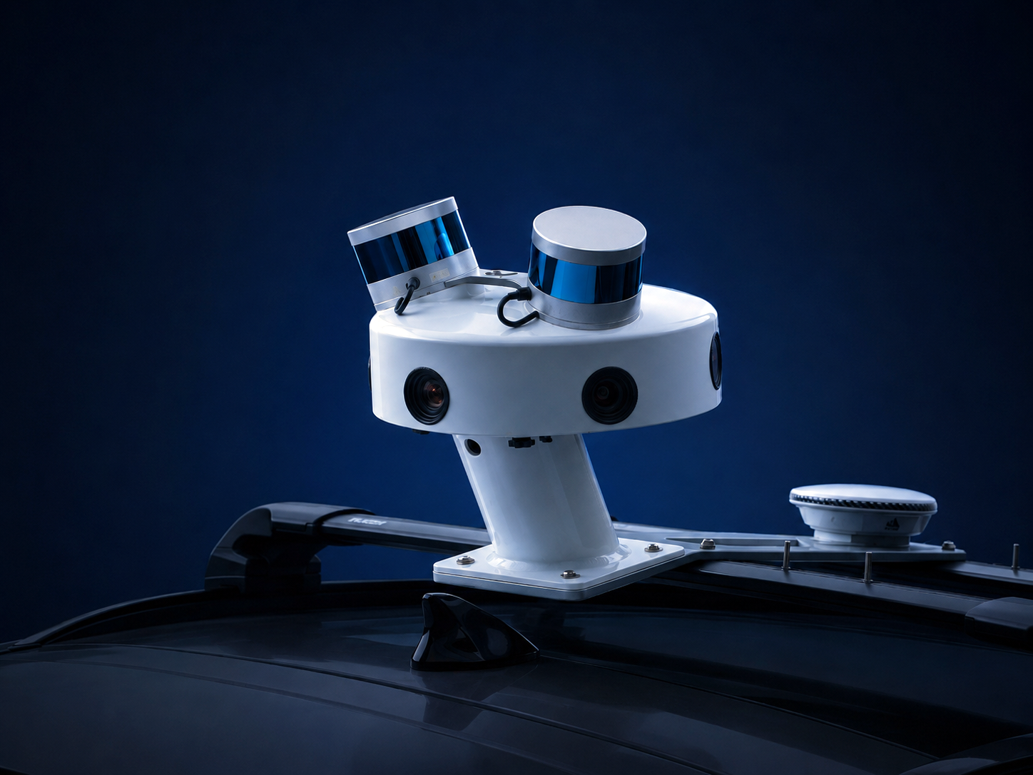
A registered point cloud and 360° imagery excerpt captured by SYMBO, our multi-sensor mapping platform.
What's in the sample
- Registered LiDAR point cloud
- 360° panoramic imagery
- Captured with high-density LiDAR, 72MP panoramic imagery and precision GNSS/INS, all time-synchronized
Applications
01
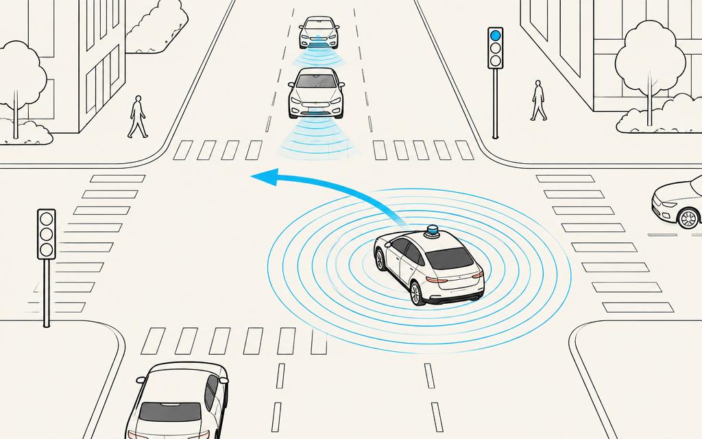
The Unprotected Left Turn
The scenario: An autonomous vehicle waits to turn left across three lanes while a cyclist is half-hidden behind a bus.
The challenge: The hardest perception cases are partial occlusions at complex intersections, the moments simulation rarely gets right.
What the data gives you: Co-registered LiDAR and 360° imagery of real intersections, so perception teams can label occluded road users in 3D and in color at the same time, and test detection where it actually fails.
02
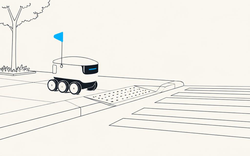
Curb Ramps and Crosswalks
The scenario: A sidewalk delivery robot has to find the curb cut, cross with the signal, and climb the ramp on the other side.
The challenge: GPS alone can't tell a robot whether it's on the sidewalk or the street. Centimeters matter at a curb.
What the data gives you: Survey-grade geometry of curbs, ramps, poles and crossings that robots can localize against, block by block.
03
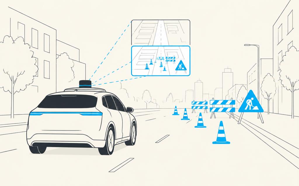
The Construction Zone That Wasn't There Last Month
The scenario: A lane closure appears overnight. The map still shows four open lanes.
The challenge: A map that's out of date is a safety problem, not an inconvenience.
What the data gives you: Repeat street-level capture compared over time to flag what changed: new barriers, shifted lane markings, moved signs.
04
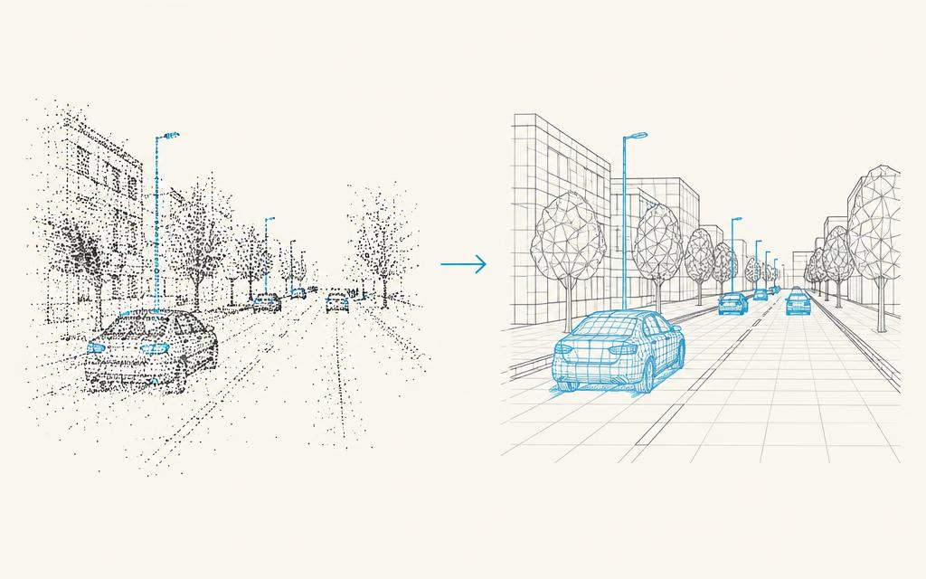
From Street Scan to Simulation Scene
The scenario: A robotics team needs 50 realistic intersections to test against before the next road trial.
The challenge: Hand-built virtual streets look clean and behave nothing like the real world.
What the data gives you: Real streets delivered as registered point clouds, USD and Gaussian Splats, ready to drop into simulation and digital-twin pipelines.
Simulation tells you what might happen at an intersection. Real LiDAR and imagery show you what actually does.
World Data teaches robots where they are. Human Data teaches them what to do.
World Data of the Month
Pedestrian & Indoor Data
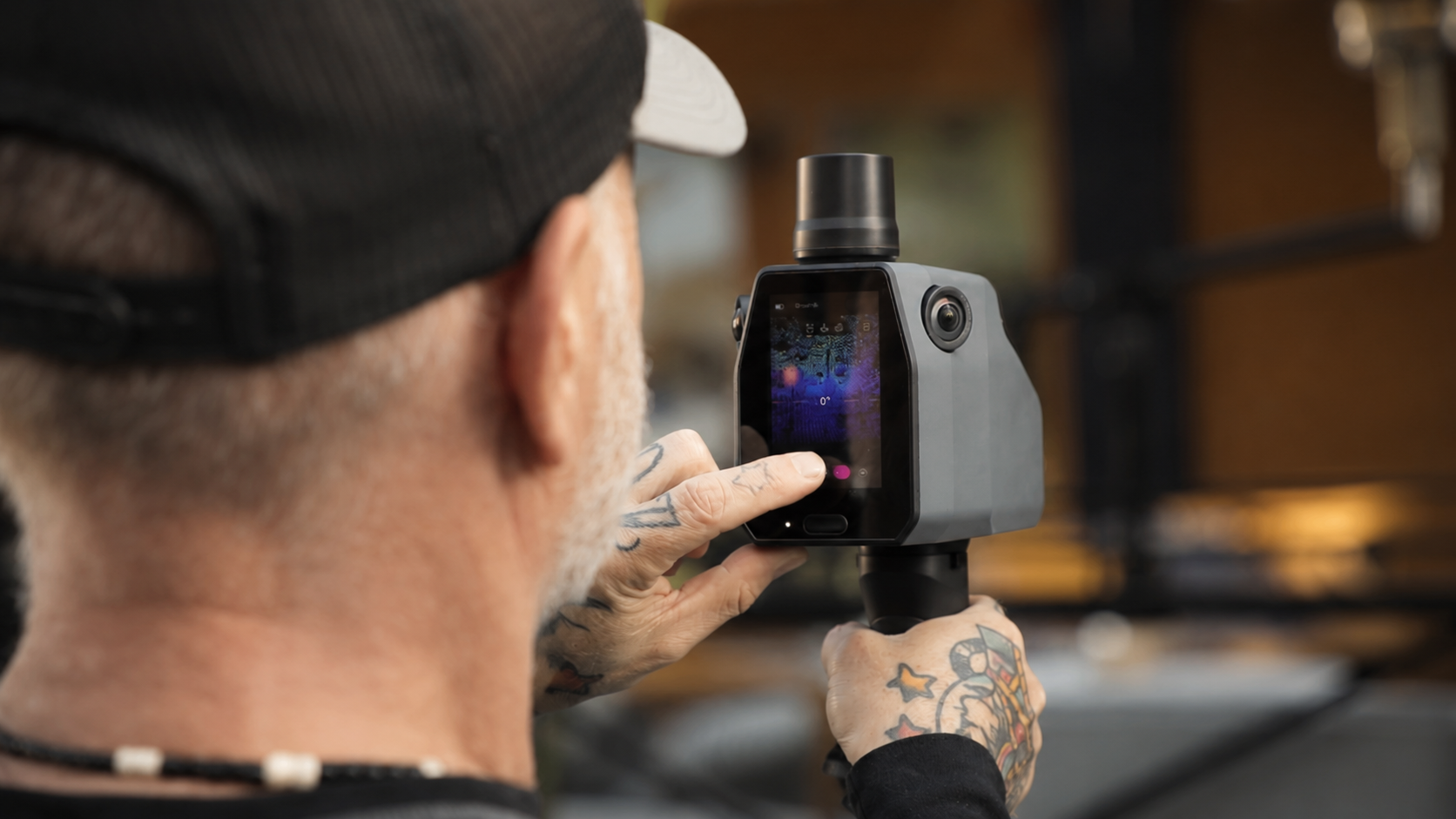
Portable LiDAR and imaging that maps the places people live, work, shop and travel, with survey-grade accuracy.
Environments
Applications
01
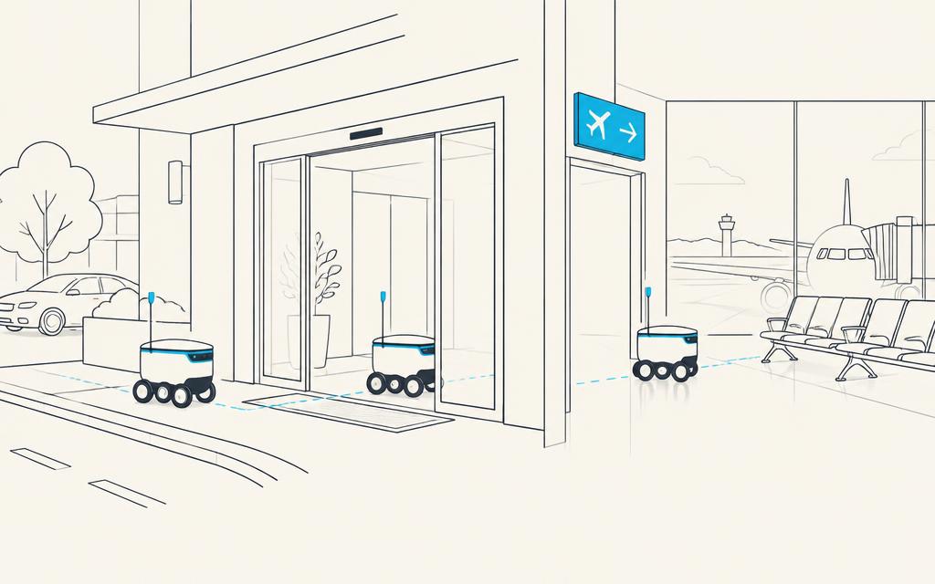
Curb to Gate
The scenario: A wayfinding robot meets a traveler at the curb and walks them through check-in and security to the gate.
The challenge: The trip crosses a street, a doorway, a crowded terminal and a security checkpoint, with no single map covering all of it.
What the data gives you: Pedestrian and indoor capture that joins seamlessly with street-level and aerial data, so the robot navigates the whole journey on one continuous map.
02
The Night-Shift Supply Run
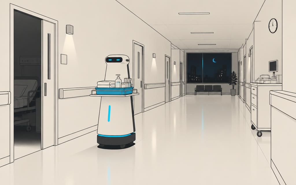
The scenario: An autonomous cart carries linens and supplies from the basement loading dock to the fourth-floor ward at 2 a.m.
The challenge: Hospitals are a maze of corridors, fire doors and elevators that change floor by floor.
What the data gives you: High-detail indoor maps of corridors, doorways and elevator lobbies across multiple floors, for route planning and localization.
03
The Humanoid That Restocks After Close
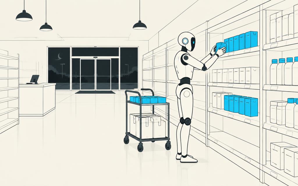
The scenario: After the store closes, a humanoid robot restocks shelves aisle by aisle.
The challenge: Humanoids are built for human-scale spaces: narrow aisles, end caps, stockroom doors. They need a map at that scale.
What the data gives you: Human-scale 3D capture of retail floors and back-of-house areas for navigation, manipulation planning and simulation.
04
Move the Racks in Software First
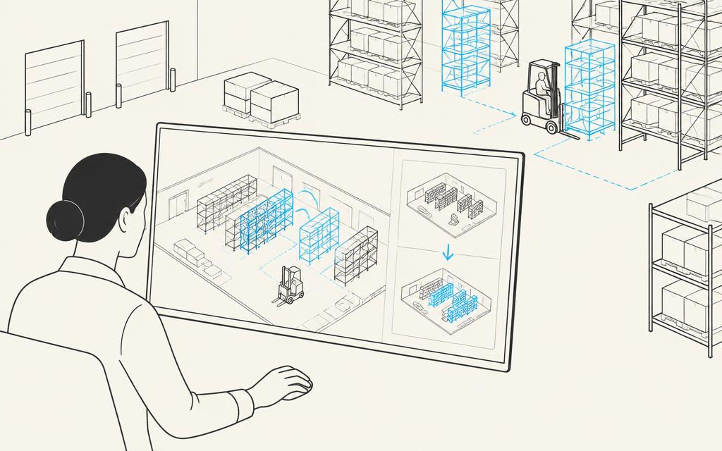
The scenario: A warehouse plans to re-slot half its racking for peak season.
The challenge: Testing a new layout with a live robot fleet is expensive and disruptive.
What the data gives you: An accurate digital twin of the current facility, so layout changes and AMR traffic can be simulated before anything moves.
A robot that only knows the street is lost the moment it walks through the door. Indoor and pedestrian data is where human-scale autonomy starts.
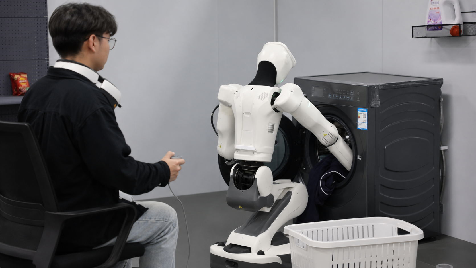
Coming soon · December 2026

By the numbers
- 26
- countries
- Hundreds of thousands
- of hours of human data
- Nationwide
- coverage
- 8 years
- in Physical AI data
Was this forwarded to you?
Get the next issue.
Trusted by leading AI companies
Eight years powering autonomous vehicles, drones, robotics and Physical AI.