
Robotic Space Brief
Issue 02 · December 2026
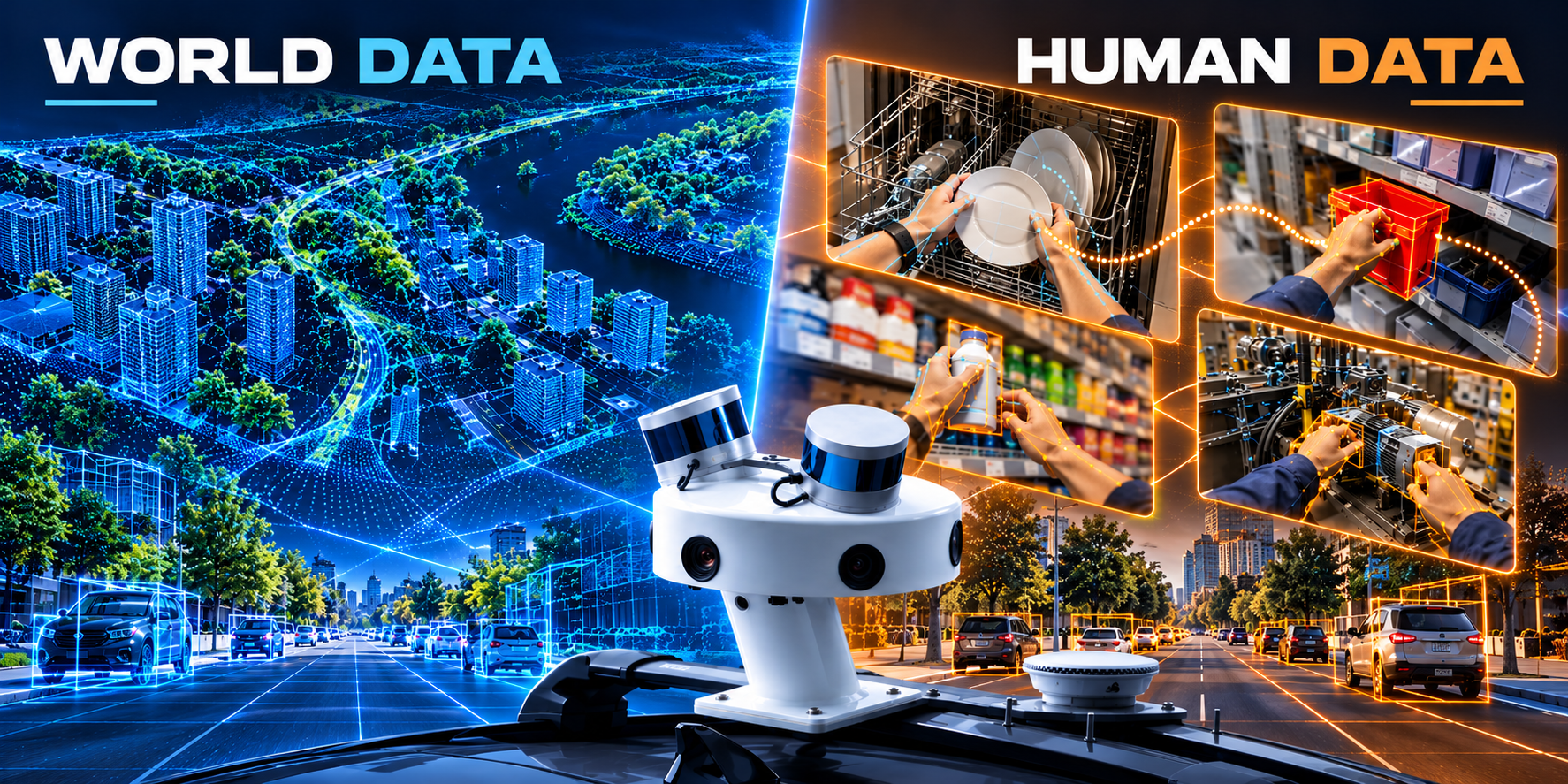
Eye Level and Overhead: Two Views Every Robot Needs.
A note from the CEO

Peter Atalla
CEO, Robotic Data
One question comes up in almost every conversation I have with robotics teams right now: what should we collect first, data about the world or data about people?
My honest answer is both, in the right order for what you're building. A humanoid that can't learn a task from watching people won't be useful. A drone that can't see the city from above won't be safe. The two views solve different problems, and the teams moving fastest are the ones that connect them early.
So this issue puts them side by side. The Egocentric Task Sample shows a task the way the person doing it sees it: hands, objects, sound and motion. Aerial Data gives you the overhead picture of rooftops, trees, terrain and the whole city at once.
Read the applications with your own roadmap in mind. If you're weighing where to invest next, I'm glad to think it through with you.
Peter
Peter Atalla
CEO, Robotic Data
Data Sample of the Month
Egocentric Task Sample
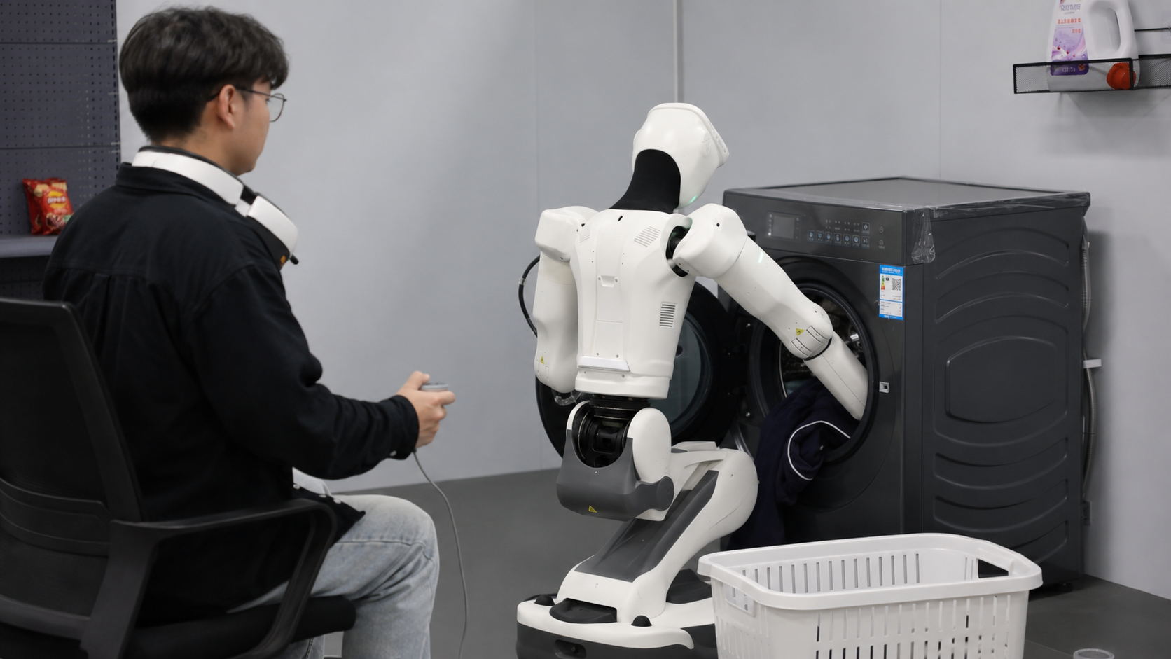
First-person video of real tasks, with synchronized audio and motion.
What's in the sample
- Egocentric video from wearable cameras
- Synchronized audio and speech
- Synchronized motion data
Applications

01
Loading the Dishwasher
The scenario: A home humanoid has to load plates, glasses and cutlery without breaking anything.
The challenge: Grip, angle, order of operations. People do it without thinking, and robots have to learn every step.
What the data gives you: First-person video of people doing real household tasks, synchronized with motion, so manipulation models learn from how hands actually move.
02
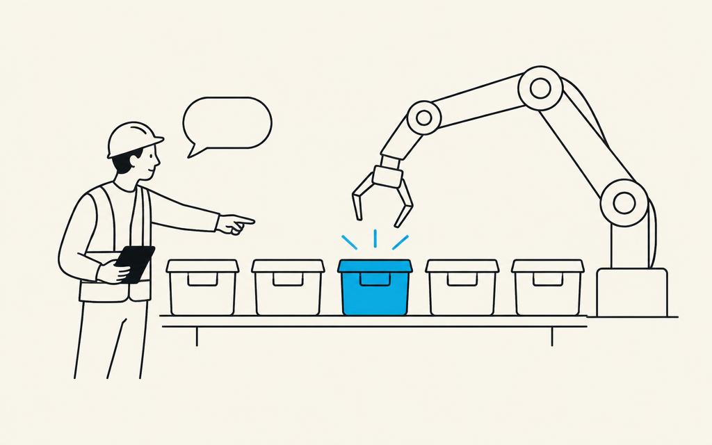
"Hand Me the Red One"
The scenario: A worker points at a bin and says, "Hand me the red one."
The challenge: Following spoken instructions means linking words, gaze and objects in the same moment.
What the data gives you: Video and speech captured together, time-aligned, the raw material for vision-language-action models.

03
Stocking the Shelf
The scenario: A retail robot learns to face products, rotate stock and fill gaps on a shelf.
The challenge: Retail tasks are repetitive for people and surprisingly complex for robots: deformable packaging, tight spaces, varied products.
What the data gives you: Real retail task capture showing how people reach, grasp and place in working environments.

04
The Technician's Eye View
The scenario: An experienced technician walks a production line and checks equipment by sight, sound and touch.
The challenge: That expertise lives in what the technician looks at, listens to and handles, and it's rarely written down.
What the data gives you: Egocentric capture of skilled industrial work, with the audio context, to train inspection and assistance systems.
You can't teach a robot to fold, pour or stack from a spec sheet. It has to watch how people actually do it, from their point of view.
Eye-level task data and overhead world data, connected, become Robotic Space.
World Data of the Month
Aerial Data
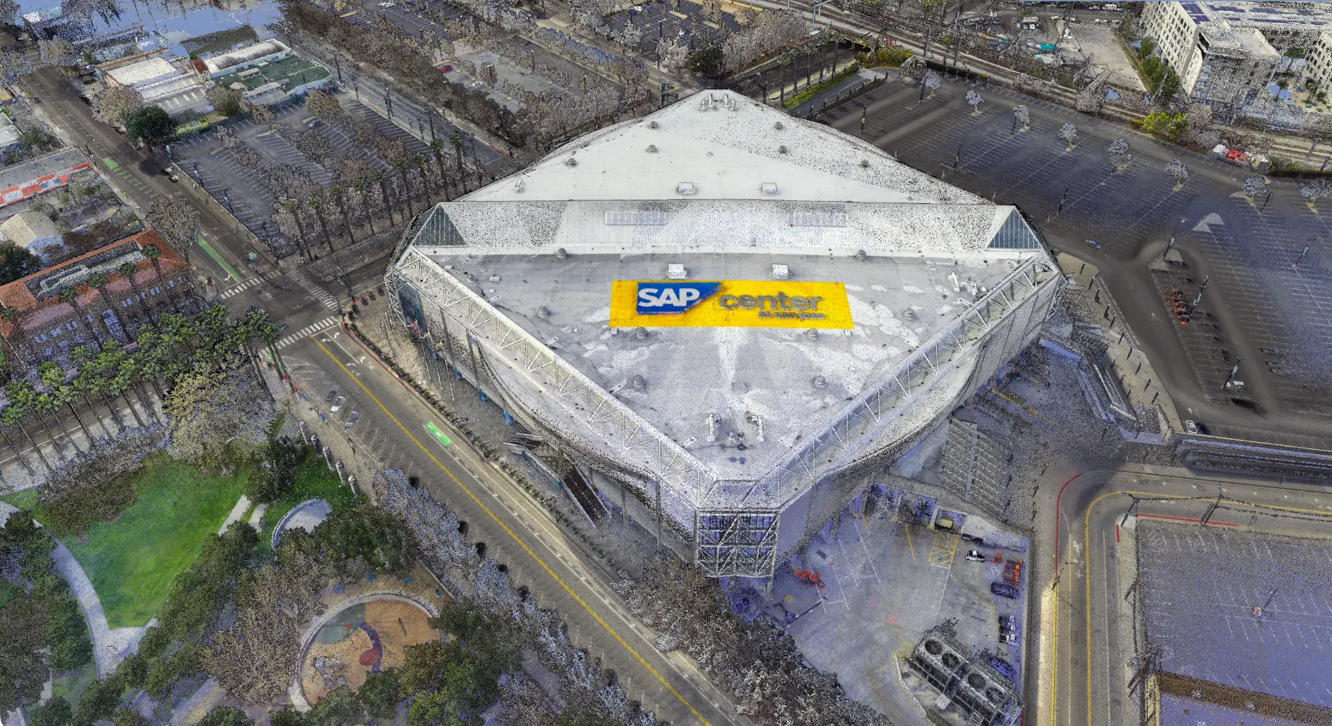
High-density LiDAR and high-resolution imagery from fixed-wing aircraft, helicopters and drones, from a single site to an entire country.
Data products
Applications
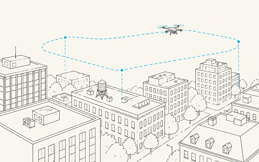
01
Drawing the Drone Corridor
The scenario: A delivery drone operator needs safe routes from a distribution hub into dense neighborhoods.
The challenge: Rooftops, trees, power lines and cranes don't show up on a street map.
What the data gives you: Surface models and classified LiDAR that show buildings, vegetation and obstacles in 3D for route and risk modeling.
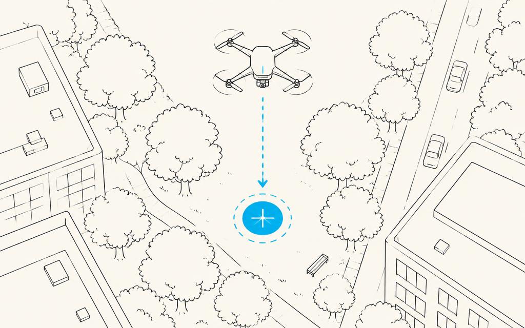
02
Finding a Place to Land
The scenario: An operator needs dozens of candidate landing and drop zones across a city.
The challenge: Flat on a map isn't flat in reality. Slope, clutter and clearance decide what's usable.
What the data gives you: Elevation and surface models with matched orthophotography to assess sites before anyone visits them.
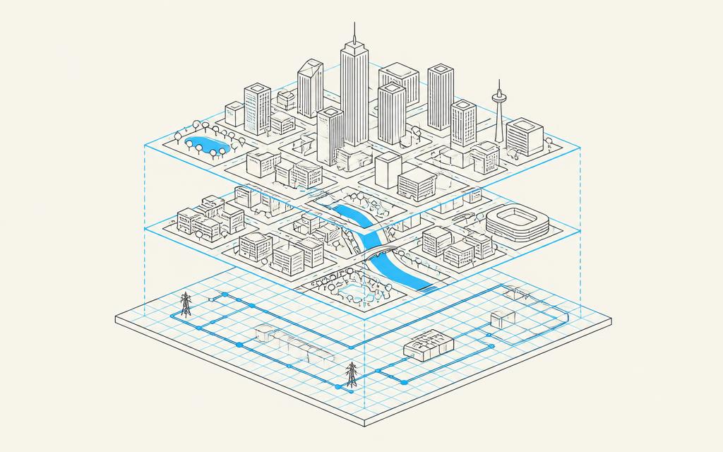
03
The Base Layer for a City Twin
The scenario: A simulation team is building a full digital twin of a metro area for robot and AV testing.
The challenge: Street-level and indoor capture provide detail, but the twin needs a complete, consistent base underneath them.
What the data gives you: Wide-area aerial LiDAR and imagery that street-level and pedestrian data plug into, creating one multi-scale model of the city.
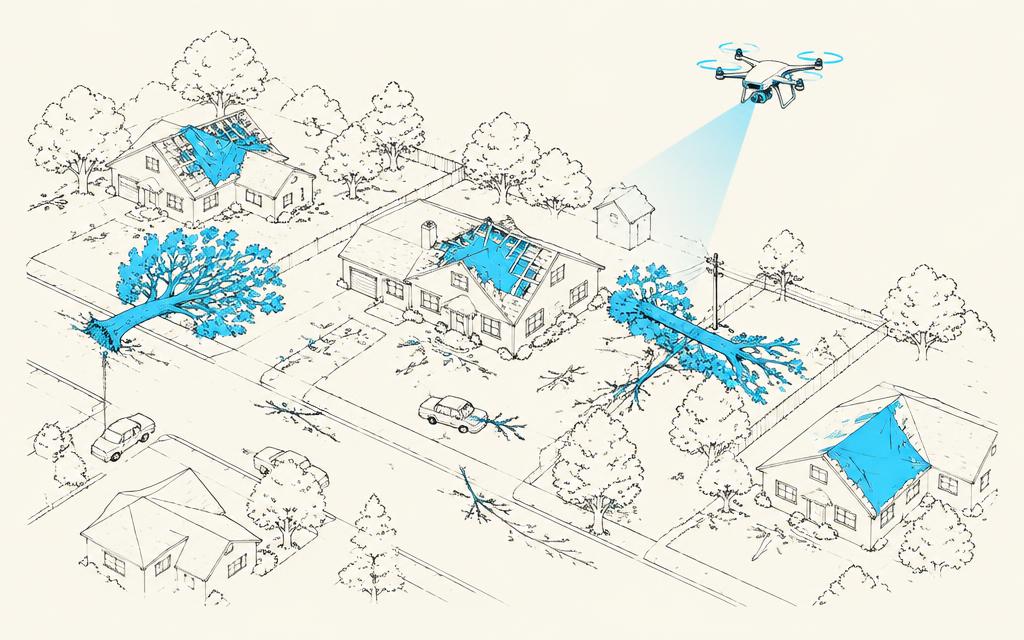
04
After the Storm
The scenario: A storm passes through and an infrastructure team needs to know what changed, fast.
The challenge: Ground surveys are slow and can't reach everywhere.
What the data gives you: Repeat aerial capture compared against the baseline to detect fallen trees, damaged structures and terrain changes.
Before a drone flies a single route, it needs to know what's above the street, not just on it.
Sample available: Aerial LiDAR & Orthophoto Sample: classified LiDAR with matched orthophotography.
Coming soon · January 2027
Data Sample
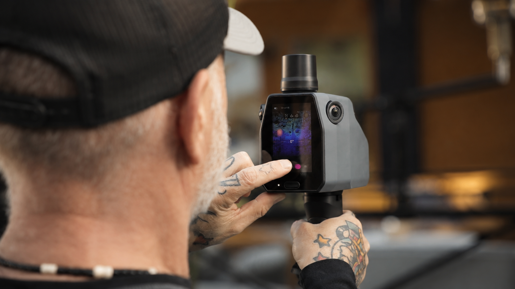
Object Manipulation Sample
Third-person and wearable capture of fine motor tasks.
Get notified
World Data
SYMBO Network USA
On-demand street-level data, growing across the United States.
Get notifiedBy the numbers
- 26
- countries
- Hundreds of thousands
- of hours of human data
- Nationwide
- coverage
- 8 years
- in Physical AI data
Was this forwarded to you?
Get the next issue.
Trusted by leading AI companies
Eight years powering autonomous vehicles, drones, robotics and Physical AI.